Tunnel excavation surface structure detection technology based on 3D LiDAR point cloud Abstract:At present,the primary shotcrete in tunnel is mainly realized by manual control of shotcrete machine.The intellectualization of construction machinery is an important development direction in the future.Environment-aware system is a necessary procedure to realize automatic tunnel shotcrete.According to the characteristics of the tunnel structure and the actual construction environment,this paper designed 3D LiDAR target detection system which is applicable to arbitrary profile (non-standard)tunnel excavation surface.The system includes the design of sensors hardware,the combination of sensors and shotcrete machine and the content,re-proccesing and augmentation of the dataset TES (Tunnel Extruded Surface).Especially,four key researches about the detection system was implemented: For the tunnel axis extraction problem,a method that can be used for non-standard tunnel with working surface is proposed.The direction with minimum projection density variance(PDV)is proposed as the optimal tunnel axis,and grid search method with variable scale is used to search the optimal solution quickly.The examination on dataset TES shows that the axial error of the proposed method is less than 1,and the controlled experiment with RANSAC method verifies the effectiveness of the proposed method as well. For the segmentation of excavation surface area,a machine learning method is proposed to divide five types of excavation surface according to the feature of the 3D point cloud and the tunnel structure by using the voxel grid as the point cloud group.The optimal classifier,xgboost,was selected based on the comparation of the performances of 6 different classifiers by cross validation.Due to feature selection and parameter tuning,xgboost achieves the best accuracy of 88.2%.Then Euclidean clustering and tunnel section analysis are used to adjust the edges of the five types of excavation surface
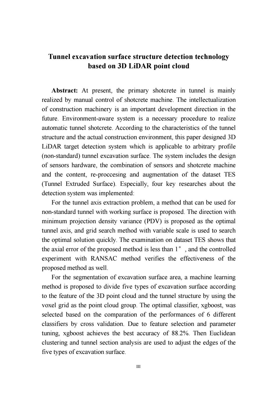
III Tunnel excavation surface structure detection technology based on 3D LiDAR point cloud Abstract: At present, the primary shotcrete in tunnel is mainly realized by manual control of shotcrete machine. The intellectualization of construction machinery is an important development direction in the future. Environment-aware system is a necessary procedure to realize automatic tunnel shotcrete. According to the characteristics of the tunnel structure and the actual construction environment, this paper designed 3D LiDAR target detection system which is applicable to arbitrary profile (non-standard) tunnel excavation surface. The system includes the design of sensors hardware, the combination of sensors and shotcrete machine and the content, re-proccesing and augmentation of the dataset TES (Tunnel Extruded Surface). Especially, four key researches about the detection system was implemented: For the tunnel axis extraction problem, a method that can be used for non-standard tunnel with working surface is proposed. The direction with minimum projection density variance (PDV) is proposed as the optimal tunnel axis, and grid search method with variable scale is used to search the optimal solution quickly. The examination on dataset TES shows that the axial error of the proposed method is less than 1°, and the controlled experiment with RANSAC method verifies the effectiveness of the proposed method as well. For the segmentation of excavation surface area, a machine learning method is proposed to divide five types of excavation surface according to the feature of the 3D point cloud and the tunnel structure by using the voxel grid as the point cloud group. The optimal classifier, xgboost, was selected based on the comparation of the performances of 6 different classifiers by cross validation. Due to feature selection and parameter tuning, xgboost achieves the best accuracy of 88.2%. Then Euclidean clustering and tunnel section analysis are used to adjust the edges of the five types of excavation surface

For the accurate detection of the steel arch area,a directed edge growing (DEG)method based on the principle of region growing is proposed to detect multiple steel arches on the rock surface,and the growing conditions of seed points were given according to the tunnel structure.Through qualitative and quantitative analysis,the accuracy of the proposed method reaches 92.8%,which is more effective than other potentially feasible methods and has relative anti-noise capability. To obtain the cross-section excavation distribution used for shotcrete path planning,a method used for non-standard tunnel with steel arches is proposed based on the tunnel axis,rock surface and steel arches extracted in the processes above.This method improved an existing method for calculating the cross-section excavation of standard tunnel based on range image in each steps,including tunnel profile extraction,range image interpolation and point cloud segmentation.According to the controlled examination,the detection accuracy and time consuming of the proposed method used in non-standard tunnel with steel arches seems to reach a similar effect as the existing method designed for standard tunnel The target recognition technology proposed in this paper was proved can automatically extract several main kinds of structure information for shotcrete path planning,and the accuracy and recognition speed can basically meet the requirements of actual working conditions.The research work of this paper has the feasibility of applying to tunnel automatic shotcrete,which fills the research blank in related fields and has certain engineering application value to promote the development of automatic tunnel shotcrete machine industry. Keywords:Computer vision;3D point cloud;LiDAR;tunnel;machine learning Classification:TP391.4
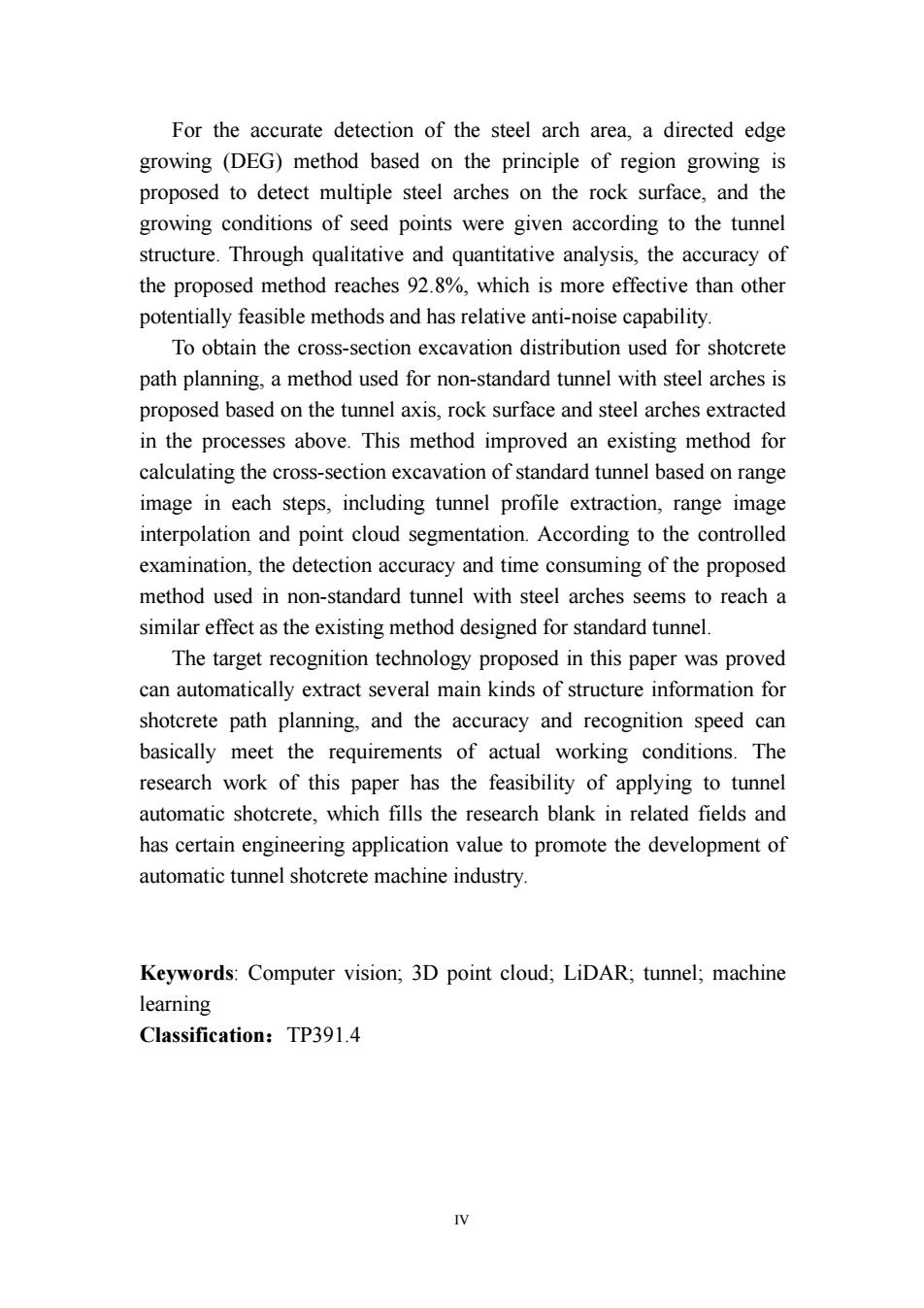
IV For the accurate detection of the steel arch area, a directed edge growing (DEG) method based on the principle of region growing is proposed to detect multiple steel arches on the rock surface, and the growing conditions of seed points were given according to the tunnel structure. Through qualitative and quantitative analysis, the accuracy of the proposed method reaches 92.8%, which is more effective than other potentially feasible methods and has relative anti-noise capability. To obtain the cross-section excavation distribution used for shotcrete path planning, a method used for non-standard tunnel with steel arches is proposed based on the tunnel axis, rock surface and steel arches extracted in the processes above. This method improved an existing method for calculating the cross-section excavation of standard tunnel based on range image in each steps, including tunnel profile extraction, range image interpolation and point cloud segmentation. According to the controlled examination, the detection accuracy and time consuming of the proposed method used in non-standard tunnel with steel arches seems to reach a similar effect as the existing method designed for standard tunnel. The target recognition technology proposed in this paper was proved can automatically extract several main kinds of structure information for shotcrete path planning, and the accuracy and recognition speed can basically meet the requirements of actual working conditions. The research work of this paper has the feasibility of applying to tunnel automatic shotcrete, which fills the research blank in related fields and has certain engineering application value to promote the development of automatic tunnel shotcrete machine industry. Keywords: Computer vision; 3D point cloud; LiDAR; tunnel; machine learning Classification:TP391.4

目录 摘要 Abstract 目录。 第1章绪论 1.1研究背景及意义 1.1.1问题背景 1.1.2研究意义 1.2国内外研究现状 .4 1.2.1传感器选用 1.2.2隧道轴线提取技术 .4 12.3隧道点云特征检测 1.2.4隧道超欠挖计算 6 1.3研究目的与主要研究内容 1 1.3.1研究目的 7 1.3.2研究内容及本文结构安排 7 1.4本章小结 第2章隧道数据采集装置及数据集的建立 10 2.1数据采集设备设计 .10 2.1.1隧道三维扫描监测设备选型 .10 2.1.2湿喷工况数据采集装置设计 11 2.13雷达数据坐标系 12 2.2数据集与预处理 .14 22.1原始隧道点云数据 14 2.2.2数据预处理 …l6 2.2.3不同隧道轮廓的数据扩增. 18 2.3本章小结 20 第3章基于栅格投影的隧道轴线提取 3.1轴线提取常用方法.… 21 32基于投影密度方差的隧道轴线提取 22 3.2.1点云投影密度方差(PDV) 22 3.2.2基于网格搜索的PDV寻优方法(GPDV 24 3.3数据集的轴向提取测试… .27
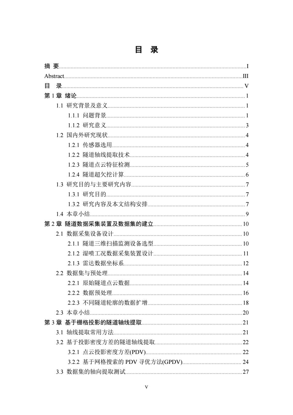
V 目 录 摘 要...............................................................................................................................I Abstract.........................................................................................................................III 目 录........................................................................................................................... V 第 1 章 绪论.................................................................................................................. 1 1.1 研究背景及意义............................................................................................. 1 1.1.1 问题背景.............................................................................................. 1 1.1.2 研究意义.............................................................................................. 3 1.2 国内外研究现状............................................................................................. 4 1.2.1 传感器选用.......................................................................................... 4 1.2.2 隧道轴线提取技术.............................................................................. 4 1.2.3 隧道点云特征检测.............................................................................. 5 1.2.4 隧道超欠挖计算.................................................................................. 6 1.3 研究目的与主要研究内容............................................................................. 7 1.3.1 研究目的.............................................................................................. 7 1.3.2 研究内容及本文结构安排.................................................................. 7 1.4 本章小结......................................................................................................... 9 第 2 章 隧道数据采集装置及数据集的建立............................................................ 10 2.1 数据采集设备设计....................................................................................... 10 2.1.1 隧道三维扫描监测设备选型............................................................ 10 2.1.2 湿喷工况数据采集装置设计............................................................ 11 2.1.3 雷达数据坐标系................................................................................ 12 2.2 数据集与预处理........................................................................................... 14 2.2.1 原始隧道点云数据............................................................................ 14 2.2.2 数据预处理........................................................................................ 16 2.2.3 不同隧道轮廓的数据扩增................................................................ 18 2.3 本章小结....................................................................................................... 20 第 3 章 基于栅格投影的隧道轴线提取.................................................................... 21 3.1 轴线提取常用方法....................................................................................... 21 3.2 基于投影密度方差的隧道轴线提取........................................................... 22 3.2.1 点云投影密度方差(PDV)................................................................. 22 3.2.2 基于网格搜索的 PDV 寻优方法(GPDV)........................................ 24 3.3 数据集的轴向提取测试............................................................................... 27

3.4本章小结 .28 第4章基于点云机器学习的开挖面分割 .29 4.1隧道开挖面分割可行方法 .29 4.1.1点云分割方法 29 4.1.2常用分类器 4.2基于点云几何特征学习的开挖面快速分割 32 4.2.1基于体素网格的点云分块方法 32 422点云几何特征提取 33 4.2.3分类器训练及点云分割 37 4.3基于欧式聚类的分割边缘裁剪 40 4.4本章小结 .42 第5章基于定向边缘生长的隧道钢拱提取 5.1钢拱提取可行方法 43 52基于边缘生长方法的隧道钢拱检测. 45 5.2.1区域生长法(Region Growing). 5.2.2边缘生长法(Directed Edge Growing.DEG). .45 5.3钢拱检测实验 50 5.3.1定性分析 51 5.3.2定量分析 .51 54本章小结 53 第6章基于深度图像的非标隧道超欠挖计算 .54 6.1隧道超欠挖检测原理。 62基于深度图像的超欠挖计算 55 6.2.1基于栅格投影的隧道轮廓提取 56 6.2.2任意截面隧道点云沿轴线展平方法 58 6.2.3隧道超欠挖分级深度图像生成 .60 6.2.4隧道深度图像联通轮廓检测技术 .62 6.3隧道超欠挖计算实验效果 .64 6.3.1开挖面结构检测最终效果 .65 64本章小结… 67 第7章工作总结与展望 68 7.1论文总结 68 7.2工作展望 .69 参考文献 .70
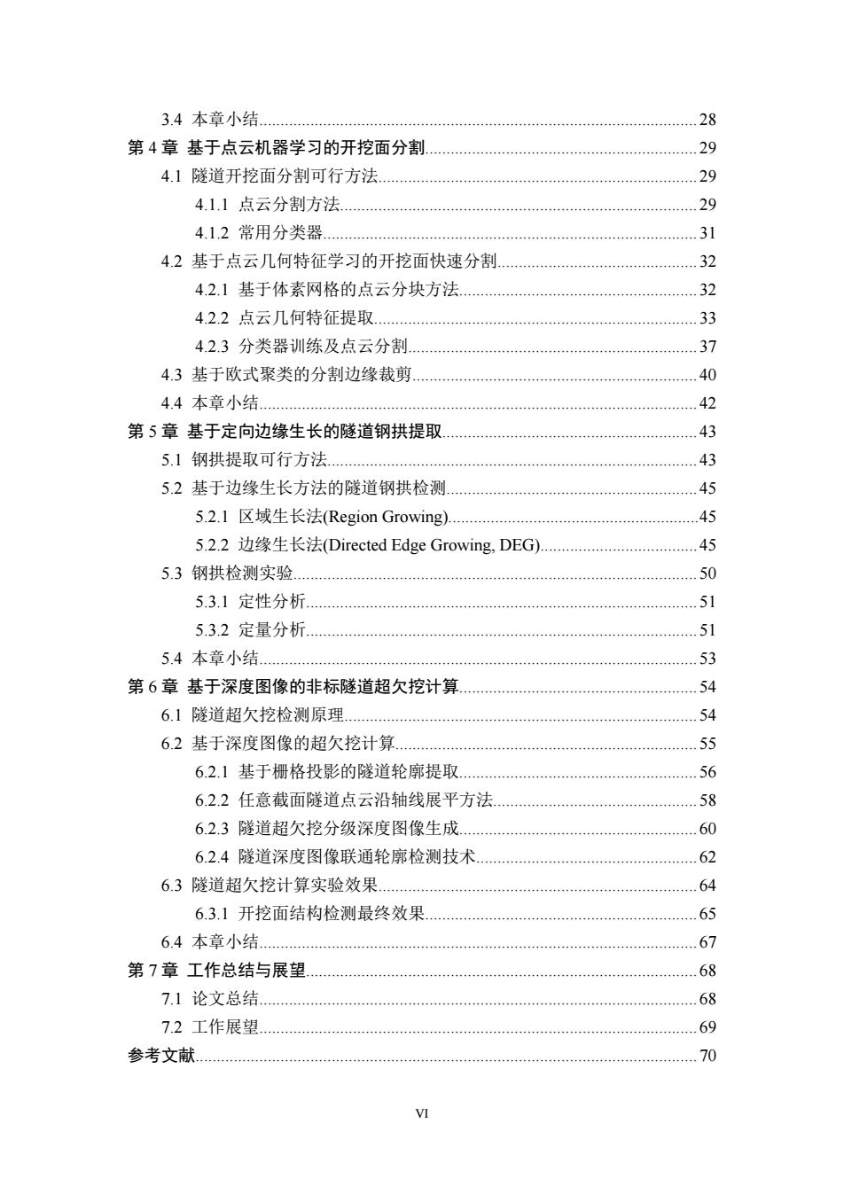
VI 3.4 本章小结....................................................................................................... 28 第 4 章 基于点云机器学习的开挖面分割................................................................ 29 4.1 隧道开挖面分割可行方法........................................................................... 29 4.1.1 点云分割方法.................................................................................... 29 4.1.2 常用分类器........................................................................................ 31 4.2 基于点云几何特征学习的开挖面快速分割............................................... 32 4.2.1 基于体素网格的点云分块方法........................................................ 32 4.2.2 点云几何特征提取............................................................................ 33 4.2.3 分类器训练及点云分割.................................................................... 37 4.3 基于欧式聚类的分割边缘裁剪................................................................... 40 4.4 本章小结....................................................................................................... 42 第 5 章 基于定向边缘生长的隧道钢拱提取............................................................ 43 5.1 钢拱提取可行方法....................................................................................... 43 5.2 基于边缘生长方法的隧道钢拱检测........................................................... 45 5.2.1 区域生长法(Region Growing)...........................................................45 5.2.2 边缘生长法(Directed Edge Growing, DEG).....................................45 5.3 钢拱检测实验............................................................................................... 50 5.3.1 定性分析............................................................................................ 51 5.3.2 定量分析............................................................................................ 51 5.4 本章小结....................................................................................................... 53 第 6 章 基于深度图像的非标隧道超欠挖计算........................................................ 54 6.1 隧道超欠挖检测原理................................................................................... 54 6.2 基于深度图像的超欠挖计算....................................................................... 55 6.2.1 基于栅格投影的隧道轮廓提取........................................................ 56 6.2.2 任意截面隧道点云沿轴线展平方法................................................ 58 6.2.3 隧道超欠挖分级深度图像生成........................................................ 60 6.2.4 隧道深度图像联通轮廓检测技术.................................................... 62 6.3 隧道超欠挖计算实验效果........................................................................... 64 6.3.1 开挖面结构检测最终效果................................................................ 65 6.4 本章小结....................................................................................................... 67 第 7 章 工作总结与展望............................................................................................ 68 7.1 论文总结....................................................................................................... 68 7.2 工作展望....................................................................................................... 69 参考文献...................................................................................................................... 70

攻读硕士期间主要研究成果 77 致谢 78
VII 攻读硕士期间主要研究成果...................................................................................... 77 致谢.............................................................................................................................. 78