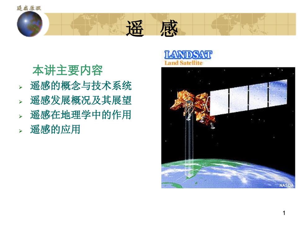
通盛原理遥感LANDSATLandSateilite本讲主要内容遥感的概念与技术系统遥感发展概况及其展望遥感在地理学中的作用遥感的应用NASD
1 遥 感 本讲主要内容 遥感的概念与技术系统 遥感发展概况及其展望 遥感在地理学中的作用 遥感的应用
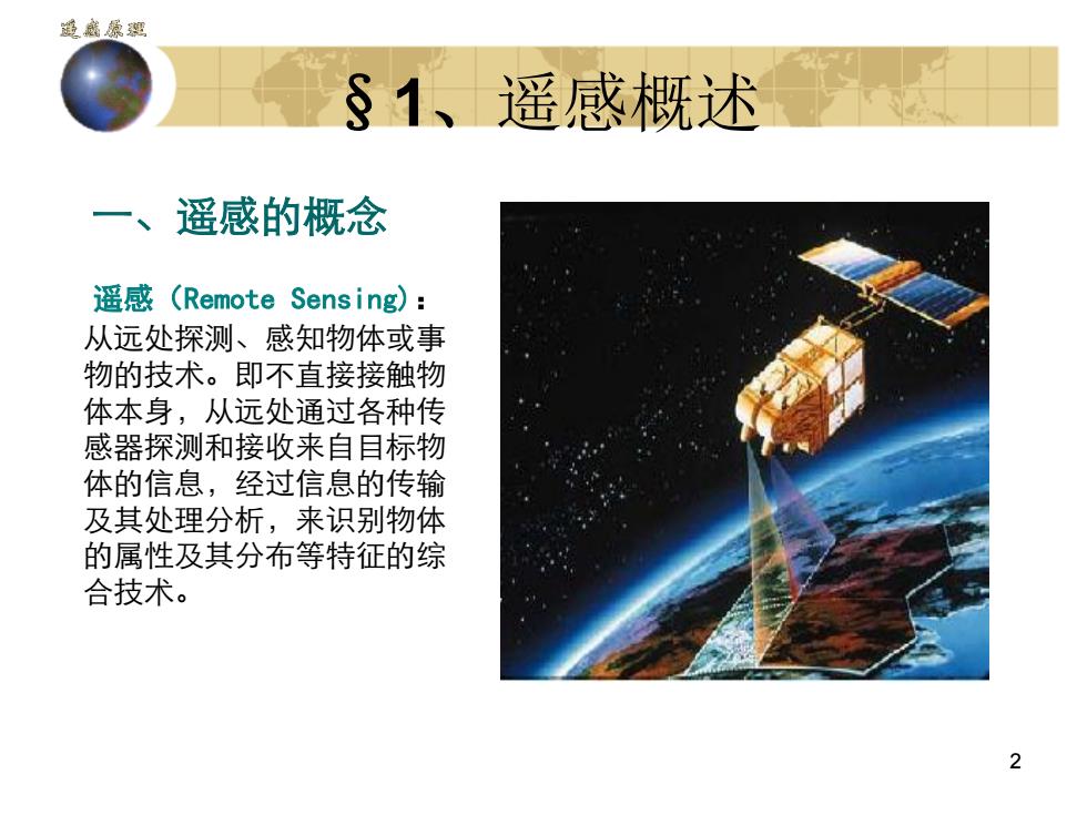
递盛原汇S1、遥感概述一、遥感的概念遥感(Remote Sensing):从远处探测、感知物体或事物的技术。即不直接接触物体本身,从远处通过各种传感器探测和接收来自目标物体的信息,经过信息的传输及其处理分析,来识别物体的属性及其分布等特征的综合技术。2
2 §1、遥感概述 一、遥感的概念 遥感(Remote Sensing): 从远处探测、感知物体或事 物的技术。即不直接接触物 体本身,从远处通过各种传 感器探测和接收来自目标物 体的信息,经过信息的传输 及其处理分析,来识别物体 的属性及其分布等特征的综 合技术
递盛原Definition of Remote SensingThe Experts say"RemoteSensingis...'·Group of techniques for collecting image or other formsof data about an object from measurements made at adistance from the object, and the processing andanalysis of the data.-RESORS,CCRS·Remote sensing is the measurement and analysis ofelectromagneticradiationreflectedfrom,transmittedthrough, or absorbed and scattered by the atmosphere,the hydrosphere and by material at or near the landsurface, for the purpose of understanding and managingtheEarth'sresourcesandenvironment.- Larry Morley3
3 Definition of Remote Sensing The Experts say "Remote Sensing is ." • Group of techniques for collecting image or other forms of data about an object from measurements made at a distance from the object, and the processing and analysis of the data. - RESORS, CCRS • Remote sensing is the measurement and analysis of electromagnetic radiation reflected from, transmitted through, or absorbed and scattered by the atmosphere, the hydrosphere and by material at or near the land surface, for the purpose of understanding and managing the Earth's resources and environment. - Larry Morley
递盛原Definition of Remote SensingRemotesensing isthe collection ofnaturalresourcesand environmentalinformation usingimages acquired by sensors on board aircraft orspacecraft.- Bob Ryerson, CCRSRemote sensing is the science of acquiringprocessing, and interpreting images, and relateddata, acquired from spacecraft and satellites thatrecord the interaction between matter andelectromagnetic energy.4
4 Definition of Remote Sensing • Remote sensing is the collection of natural resources and environmental information using images acquired by sensors on board aircraft or spacecraft. - Bob Ryerson, CCRS • Remote sensing is the science of acquiring, processing, and interpreting images, and related data, acquired from spacecraft and satellites that record the interaction between matter and electromagnetic energy
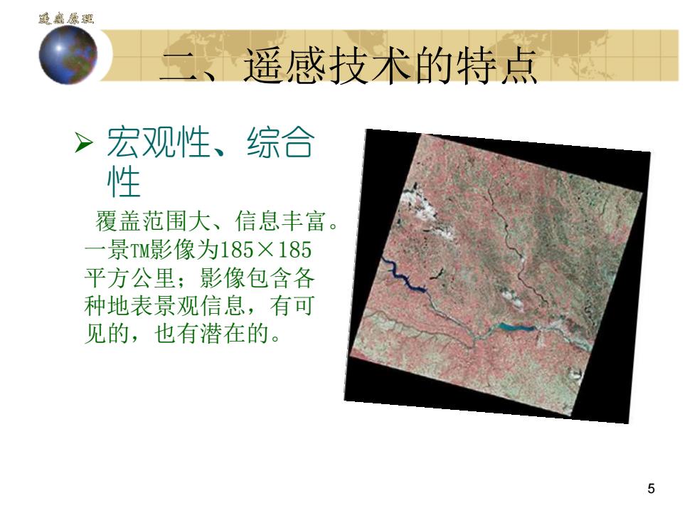
通盛原汇遥感技术的特点》宏观性、综合性覆盖范围大、信息丰富一景TM影像为185×185平方公单:影像包含各种地表景观信息,有可见的,也有潜在的5
5 二、遥感技术的特点 宏观性、综合 性 覆盖范围大、信息丰富。 一景TM影像为185×185 平方公里;影像包含各 种地表景观信息,有可 见的,也有潜在的