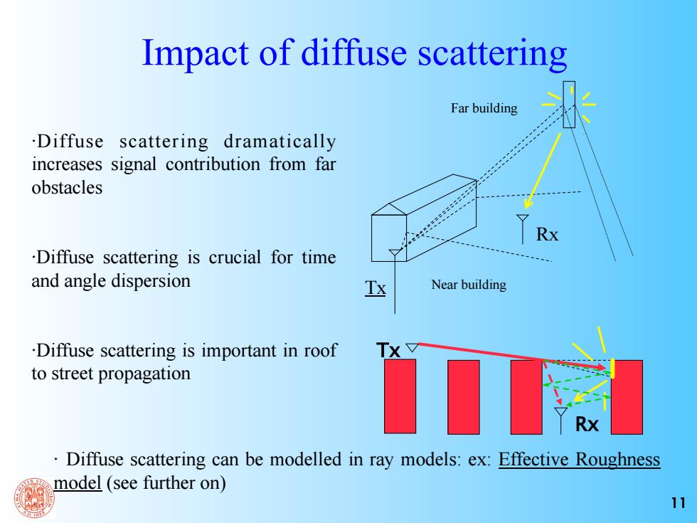
Impact of diffuse scattering Far building .Diffuse scattering dramatically increases signal contribution from far obstacles Rx .Diffuse scattering is crucial for time and angle dispersion Near building .Diffuse scattering is important in roof to street propagation Diffuse scattering can be modelled in ray models:ex:Effective Roughness model (see further on) 11
11 ·Diffuse scattering dramatically increases signal contribution from far obstacles ·Diffuse scattering is crucial for time and angle dispersion ·Diffuse scattering is important in roof to street propagation Tx Rx Near building Far building Impact of diffuse scattering Tx Rx · Diffuse scattering can be modelled in ray models: ex: Effective Roughness model (see further on)
Ray Tracing Example Input files,database format The view tree-the concept of visibility Field Computation Example of output file V.Degli-Esposti,"Urban propagation modelling and ray tracing" 12
V. Degli-Esposti, “Urban propagation modelling and ray tracing” 12 Ray Tracing Example • Input files, database format • The view tree - the concept of visibility • Field Computation • Example of output file
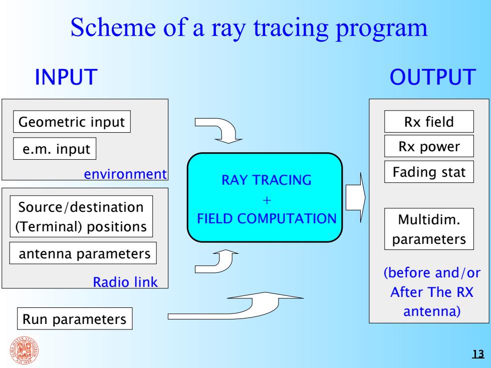
Scheme of a ray tracing program INPUT OUTPUT Geometric input Rx field e.m.input Rx power environment RAY TRACING Fading stat Source/destination FIELD COMPUTATION (Terminal)positions Multidim. parameters antenna parameters (before and/or Radio link After The RX Run parameters antenna) 13
13 Scheme of a ray tracing program Geometric input antenna parameters Source/destination (Terminal) positions e.m. input Run parameters environment Radio link INPUT RAY TRACING + FIELD COMPUTATION OUTPUT (before and/or After The RX antenna) Rx field Rx power Fading stat Multidim. parameters
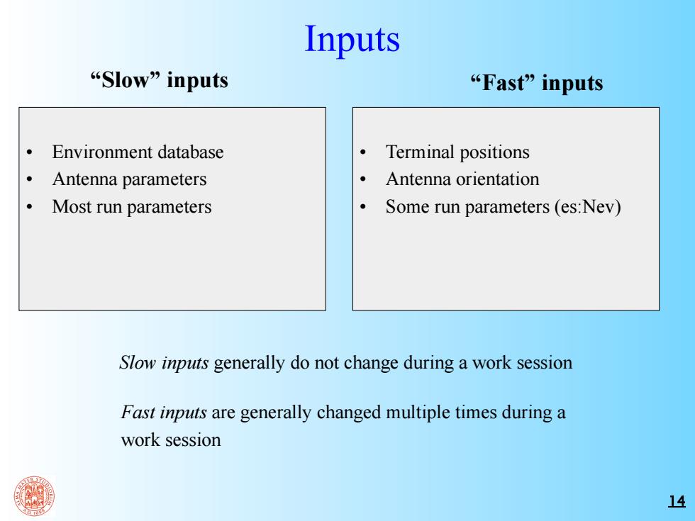
Inputs Slow”inputs “Fast”inputs Environment database Terminal positions Antenna parameters Antenna orientation Most run parameters Some run parameters(es:Nev) Slow inputs generally do not change during a work session Fast inputs are generally changed multiple times during a work session 14
14 Inputs “Slow” inputs “Fast” inputs • Environment database • Antenna parameters • Most run parameters • Terminal positions • Antenna orientation • Some run parameters (es:Nev) Slow inputs generally do not change during a work session Fast inputs are generally changed multiple times during a work session
Environment database Often the "PLANET"format is used for Environment database Also the "SHAPE"format,used by public administrations is adopted The UTM system is used as a global geographic coordinate system (the one used by GPS) The terrain database is a raster data file usually with a pixel of 5x5 m and a vertical resolution of 1 m The urban database in PLANET format is composed of the following files: .map file .bld file .atr file .elm file .bin file []PLANET is a field prediction software developed by the MSI company,UK,http://www.msiuk.com 15
15 Environment database Often the “PLANET”[*] format is used for Environment database Also the “SHAPE” format, used by public administrations is adopted The UTM system is used as a global geographic coordinate system (the one used by GPS) The terrain database is a raster data file usually with a pixel of 5x5 m and a vertical resolution of 1 m The urban database in PLANET format is composed of the following files: [*] PLANET is a field prediction software developed by the MSI company, UK, http://www.msiuk.com .map file .bld file .atr file .elm file .bin file